
Contour Survey
Professional contour survey and topographic mapping solutions with terrain models, elevation data, DEM/DTM outputs and project documentation.
 TOPOGRAPHIC MAPPING • DEM / DTM

Understand Your Land With Accurate Contour Mapping
Contour surveying maps land elevation and terrain variations to support site planning, engineering, construction and infrastructure projects.
Depending on survey methods, ground control and processing requirements, deliverables can include contour maps, topographic maps, Digital Elevation Models (DEM), Digital Terrain Models (DTM) and terrain visualisations.
- Contour Data Collection
- Topographic Mapping
- DEM / DTM Generation
- Terrain Model Generation
- Elevation Data
- Land Survey Data
Professional Contour Survey Solutions
Topographic survey and terrain mapping services for land development, engineering design, construction and site planning.
 01
Topographic Land Survey
Land elevation and feature data collection for topographic mapping and contour preparation.
- Land feature mapping
- Site elevation coverage
- Topographic site documentation
- Ground survey data support
 02
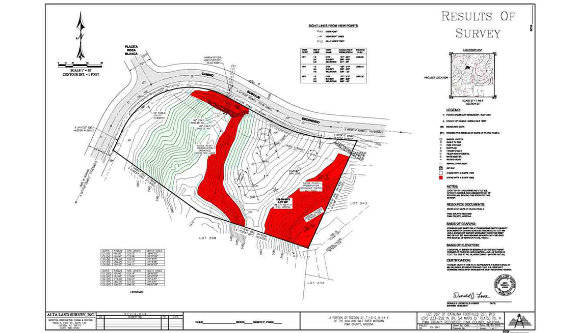
Topographic Mapping
Survey data processed into contour lines and topographic maps according to project requirements.
- Contour map outputs
- Topographic site mapping
- Terrain feature interpretation
- Survey documentation
 03
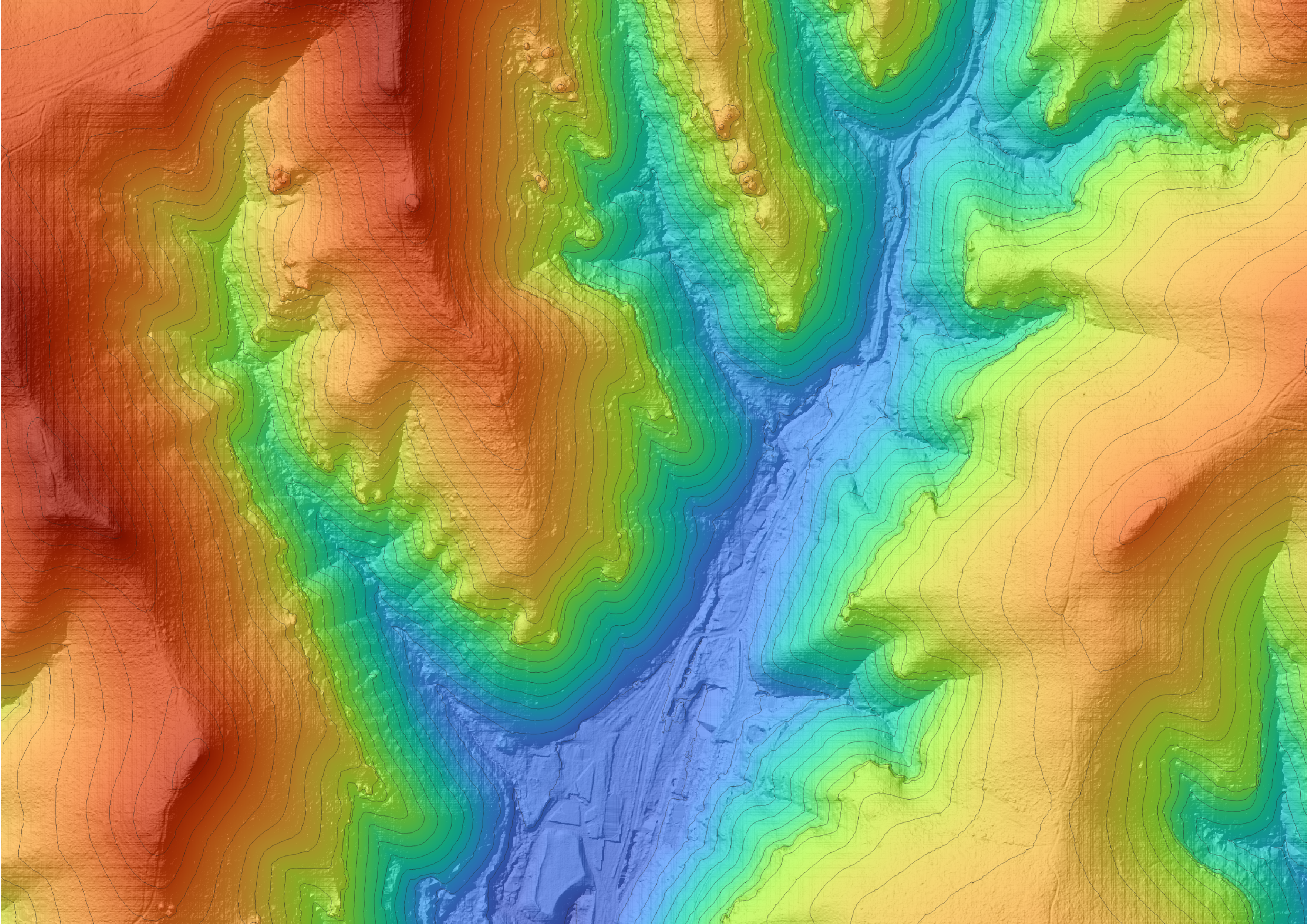
DEM / DTM Generation
Digital terrain and elevation representation prepared from survey data and suitable processing workflows.
- Elevation visualisation
- Terrain and site analysis
- DEM / DTM outputs
- Engineering planning data
 04
Terrain Model Generation
Terrain models and 3D representations prepared from suitable survey data and processing.
- 3D terrain visualisation
- Landform models
- Engineering design support
- Terrain feature review
 05
Contour & Elevation Analysis
Contour and elevation data to help assess site levels, slopes and terrain conditions.
- Site level records
- Elevation comparisons
- Survey documentation
- Site condition records
 06
Terrain & Topographic Mapping
Topographic survey data to support terrain interpretation, land development and engineering planning.
- Terrain modelling
- Land development planning
- Contour feature mapping
- Geospatial survey data
Turn Survey Data Into Useful Terrain Information
A planned survey and suitable data-processing workflow can support project mapping, surface visualisation and site documentation. Accuracy depends on equipment, ground control, data quality and processing specifications.
How Contour Survey Works
A structured workflow from site requirements to contour maps and organised topographic deliverables.
Project Planning
Review site coverage, project needs and survey requirements.
Site Survey
Collect land elevation and feature data using the selected survey method.
Data Processing
Process survey data into contour lines, terrain models and agreed outputs.
Data Delivery
Organise deliverables in the agreed format and project scope.
Applications of Contour Survey
Need Contour Survey Services?
Discuss your requirements for contour mapping, topographic surveys, terrain models, DEM/DTM and elevation data with Shree Surveying.