
Total Station Survey
Professional land surveying, construction setting out and as-built measurement services to support accurate planning and execution of your project.


Professional Total Station Surveying
A Total Station is an electronic surveying instrument used to measure angles and distances and calculate coordinates of points on the ground. It helps surveyors collect site data for construction, land development and infrastructure projects.
Shree Surveying's service page is designed to showcase surveying support for engineers, contractors, builders and developers who need organised site measurements and reliable survey information.
- Land measurement
- Site coordinate collection
- Construction setting out
- Building layout support
- Topographic detail survey
- As-built measurement
Total Station Survey Services
Surveying support for land, buildings, construction sites and infrastructure projects.
 01
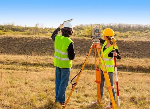
Land Surveying
Site measurement and coordinate collection to understand land features and existing conditions.
- Site measurements
- Coordinate data collection
- Existing feature mapping
- Land development support
 02
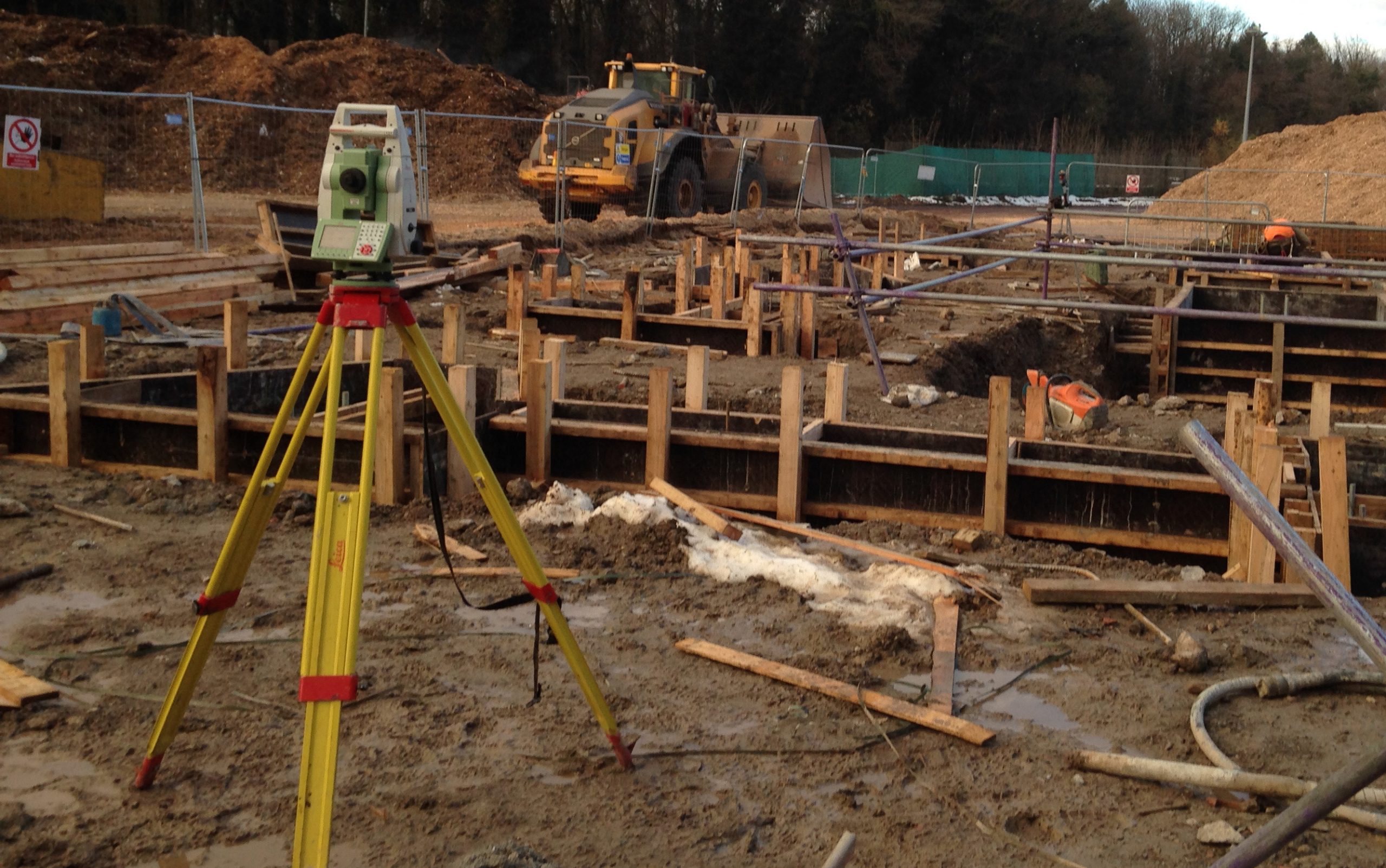
Construction Setting Out
Transfer project reference points and approved design positions onto the construction site.
- Building grid marking
- Foundation and column positions
- Reference point establishment
- Alignment verification
 03
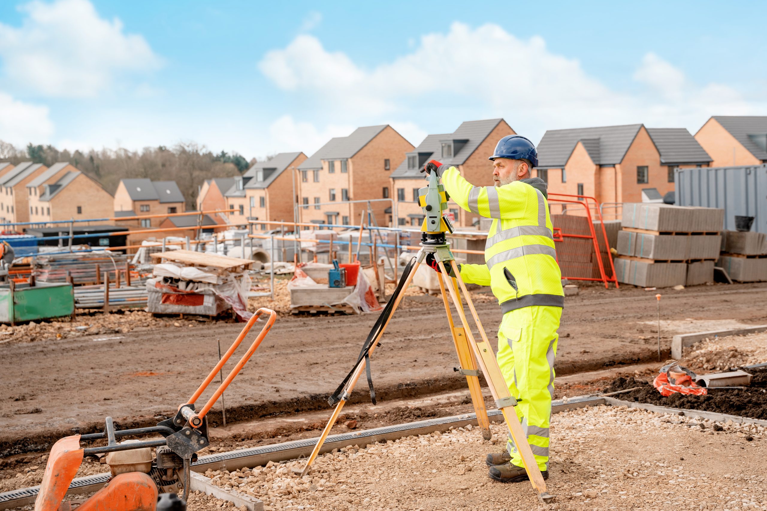
As-Built Survey
Record actual constructed positions and dimensions to support comparison with approved drawings.
- Completed structure measurements
- Position and alignment checks
- Existing condition documentation
- Drawing data support
 04
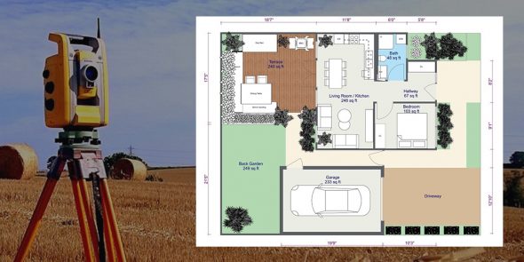
Building Layout Survey
Measurement support for building layout, structural references and site geometry during construction.
- Building layout measurements
- Structural alignment checks
- Reference point transfer
- Dimensional verification
 05
Topographic Survey
Collect site features and ground point measurements to support engineering and development planning.
- Ground feature measurements
- Road and site features
- Spot level data collection
- Site plan information
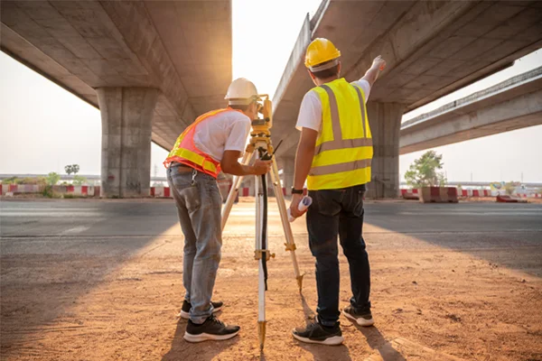 06
Road & Infrastructure Survey
Measurement and layout support for roads, civil infrastructure and related construction works.
- Road alignment measurement
- Construction reference marking
- Level and position checks
- Infrastructure site measurements
How Our Survey Process Works
A structured workflow from site assessment to survey data handover.
Site Assessment
Understand site conditions, drawings and project requirements.
Survey Planning
Identify reference points and the measurements required.
Field Survey
Collect site measurements using suitable surveying equipment.
Data Handover
Organise survey results in the agreed format for project use.
Applications of Total Station Survey
Surveying Services for Your Project
Contact us with your site location and requirements to discuss the surveying support suitable for your project.
Need a Total Station Survey?
Share your project location and survey requirements to discuss the next steps with Shree Surveying.