 01
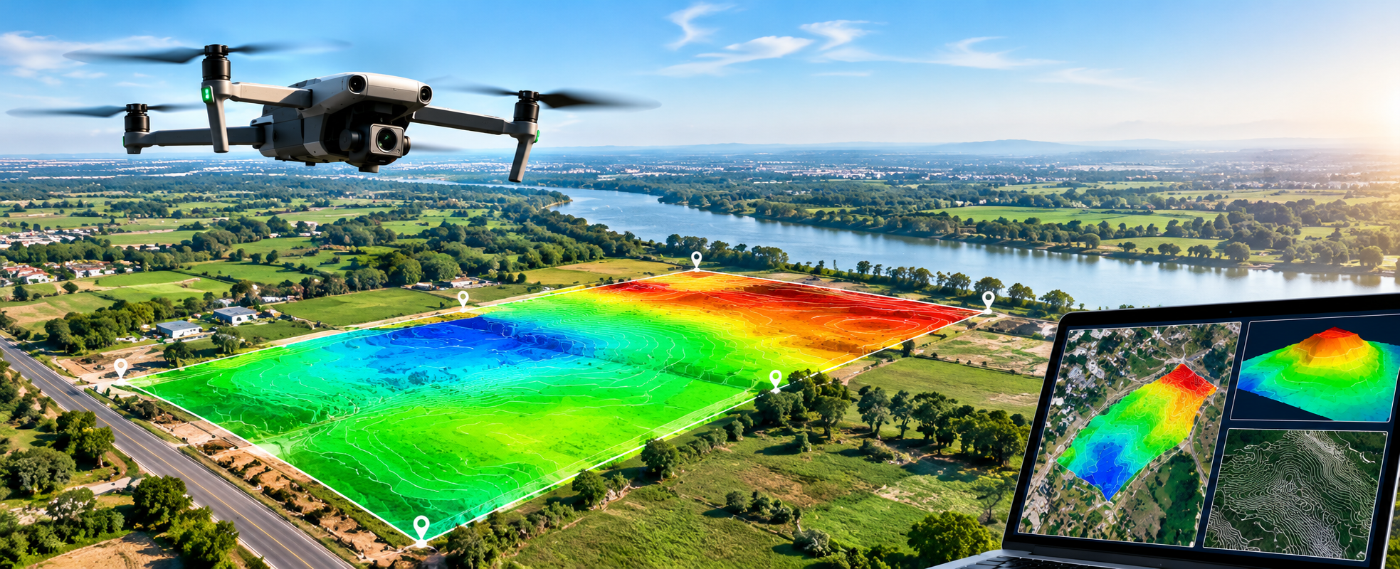
Drone Aerial Survey
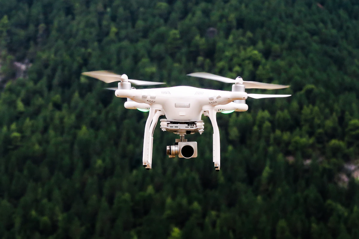
Aerial image collection for site documentation, visual inspection and mapping projects.
- Aerial site imagery
- Project area coverage
- Visual site documentation
- Field data collection support
Advanced aerial survey solutions for mapping, orthomosaic generation, Digital Surface Models (DSM), terrain visualisation and project documentation.
 AERIAL MAPPING • DIGITAL MODELS

Drone surveying uses aerial imagery and suitable photogrammetry workflows to help create visual and geospatial outputs for land, construction and infrastructure projects.
Depending on flight planning, image quality, ground control and processing requirements, deliverables can include orthomosaics, surface models and 3D representations.
Aerial data and mapping services for site planning, construction monitoring and terrain visualisation.
01
Aerial image collection for site documentation, visual inspection and mapping projects.
 02
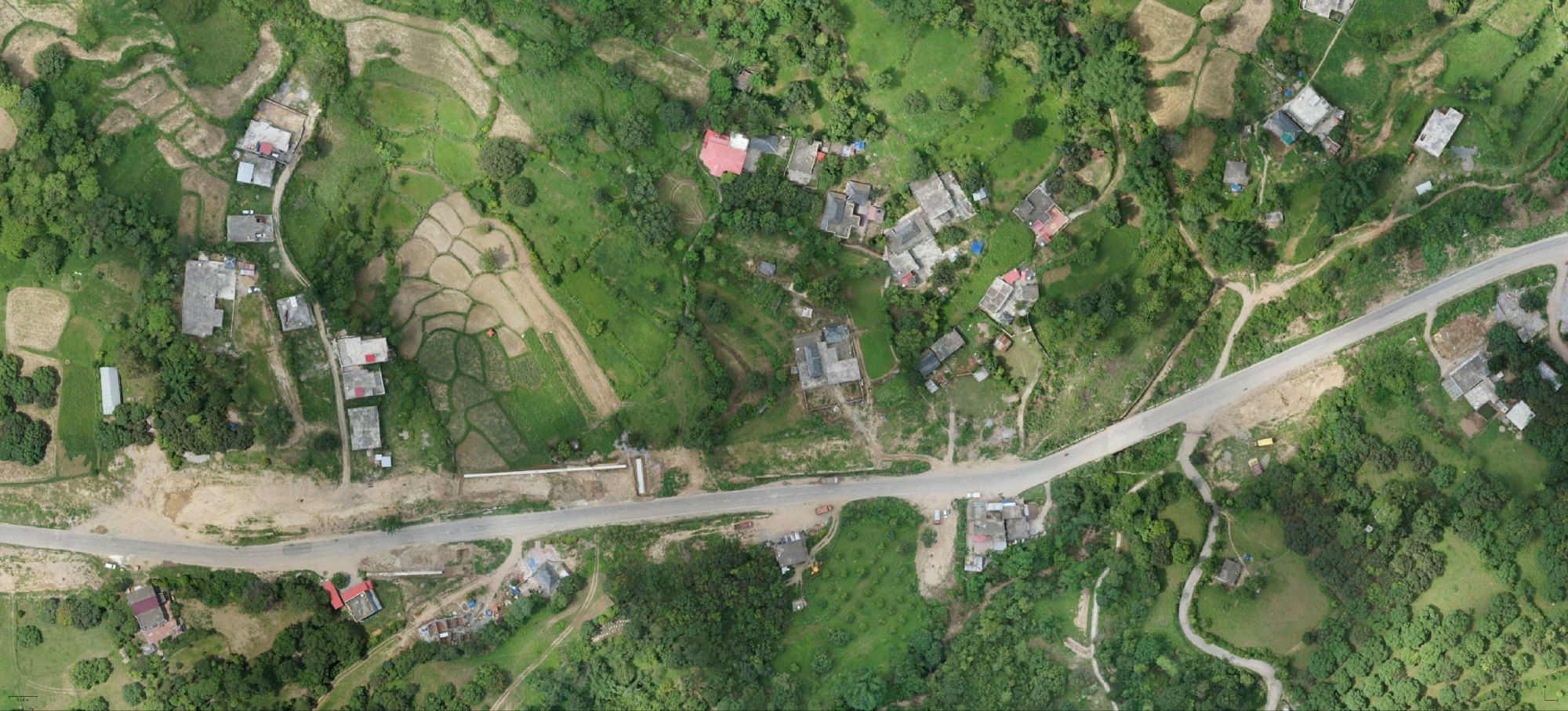
Aerial imagery processed into a geometrically corrected image map, subject to project requirements.
 03
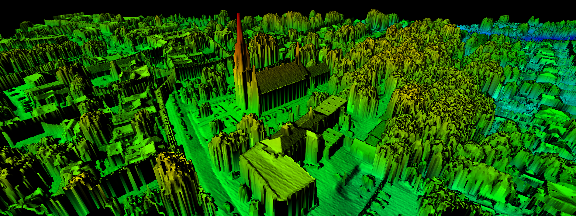
Surface representation derived from suitable aerial imagery and processing workflows.
 04
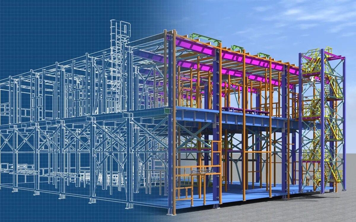
Three-dimensional visual representations created from suitable drone imagery and processing.
 05
Periodic aerial imagery to help document construction progress and site conditions.
 06
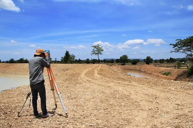
Aerial data collection to support terrain interpretation, land planning and mapping.
A planned drone flight and suitable image-processing workflow can support project mapping, surface visualisation and site documentation. Accuracy depends on equipment, ground control, image quality and processing specifications.
A structured workflow from site requirements to organised aerial mapping deliverables.
Review site coverage, project needs and flight requirements.
Collect aerial imagery according to the planned workflow.
Process suitable imagery into agreed project outputs.
Organise deliverables in the agreed format and scope.
Discuss your requirements for aerial mapping, orthomosaic, DSM, 3D models and construction progress documentation with Shree Surveying.