
DGPS Survey
Professional DGPS surveying solutions for positioning, mapping, coordinate collection and ground control point establishment for engineering and infrastructure projects.
 ACCURACY • MAPPING • BETTER TOMORROW

Better Positioning for Smarter Project Planning
DGPS uses satellite positioning with correction data to improve the positioning of survey observations. It supports mapping, engineering, land development and infrastructure project workflows.
The appropriate survey method depends on project specifications, site conditions, equipment and the accuracy required.
- Coordinate Collection
- RTK Field Survey
- Base & Rover Workflow
- Ground Control Points
- Topographic Data
- Mapping Support
DGPS Surveying Solutions
Survey data collection support for land, construction, mapping and infrastructure applications.
 01
DGPS Land Survey
Coordinate-based field data collection for land mapping and site planning.
- Ground point measurements
- Coordinate data collection
- Site feature mapping
- Land development support
 02
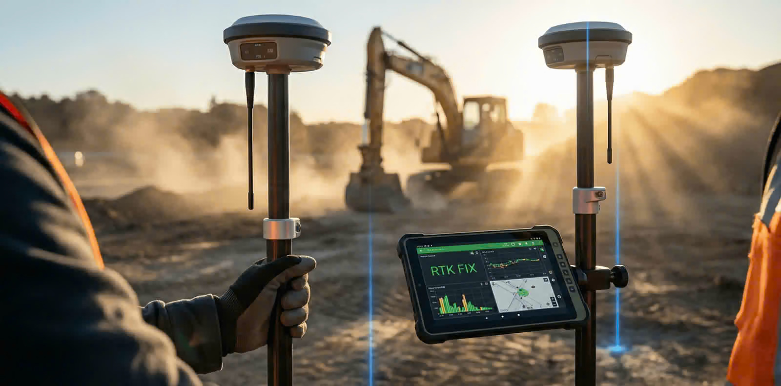
RTK Survey
Real-Time Kinematic GNSS workflows for field positioning and measurements.
- Real-time point collection
- Site coordinate measurements
- Survey control support
- Engineering fieldwork
 03
Base & Rover Survey
GNSS base and rover configurations for suitable positioning and correction workflows.
- Base station setup support
- Rover point collection
- Correction link workflow
- Field data organisation
 04
Ground Control Points
Ground control point collection to support georeferencing and mapping checks.
- Ground point positioning
- Control point measurements
- Mapping control support
- Coordinate documentation
 05
Topographic Survey
Terrain and site feature data for planning, design and engineering documentation.
- Terrain point collection
- Site feature measurements
- Spot level data support
- Planning and mapping inputs
 06
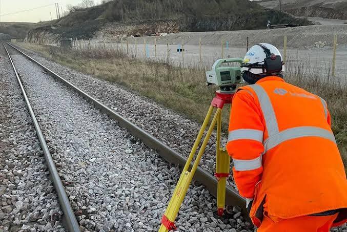
Infrastructure Survey
GNSS positioning support for road, civil construction and infrastructure field activities.
- Road corridor data collection
- Control point measurements
- Project site positioning
- Survey data support
Organised Field Survey Workflows
A suitable GNSS survey approach depends on project requirements, satellite visibility, correction availability, field conditions and required accuracy.
How the Survey Process Works
From understanding your project to collecting and organising survey data.
Site Assessment
Understand site conditions and project requirements.
Survey Planning
Select the appropriate method and field workflow.
Field Survey
Collect required survey points and observations.
Data Handover
Organise survey data in the agreed project format.
Applications of DGPS Survey
Need DGPS Survey Services?
Get in touch to discuss DGPS Survey, RTK, Base & Rover and Ground Control Point requirements for your project.